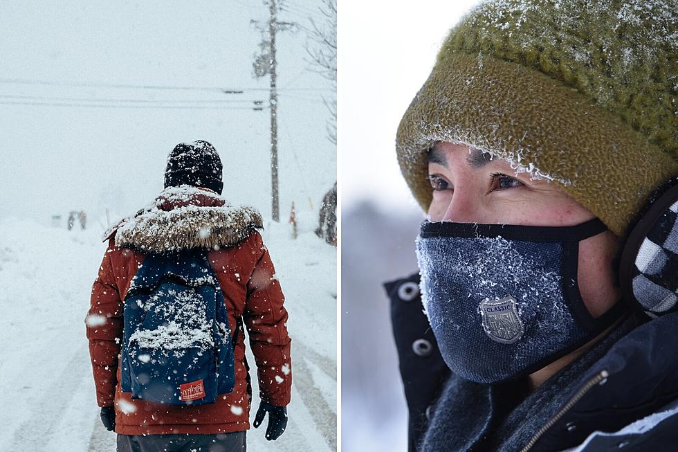
Winter Storm to Cover Maine in Snow on Groundhog Day
You can almost bet on this happening each and every year here in Maine. Some kind of a winter storm that will batter New England over the course of Groundhog Day. And, if the day isn't ushered in with inclement weather, it's at the very least always cloudy.
This year of course will be no exception to the unspoken rule. A low pressure system is creeping its way up the coast as we speak and will be arriving late Monday evening into Tuesday. The coastal low, mixed with a storm already headed this way from the mid-west, will join together to create a perfect blend for a classic Maine snowstorm.
According to News Center Maine, warming air during the day on Tuesday means that there will inevitably be some sleet and freezing rain changeovers happening at some point during the storm. The question, as always, is how far inland will that rain/snow line track. Early forecast models indicate that it won't move too far inland from the immediate coastline, though only time will tell.
The Tuesday morning commute is likely to be garbage as the storm intensifies in the midday before beginning to taper in the afternoon. While we are still a little too far out for super-accurate snow totals, News Center Meteorologists are indicating that much of the state can count on 6"-12".

As always, stay safe and drive carefully if you need to go out. And, don't forget to tune in Tuesday morning for our Morning Show storm center coverage.
10 Essential Items to Survive a Maine Winter
5 Ways to Prep for New England Winters Now So You’re Not Stuck Later
Look Out for These 5 Kinds of Drivers in Maine Snow

More From 102.9 WBLM