Strong Wind Gusts Predicted for Maine’s First Nor’easter of the Season
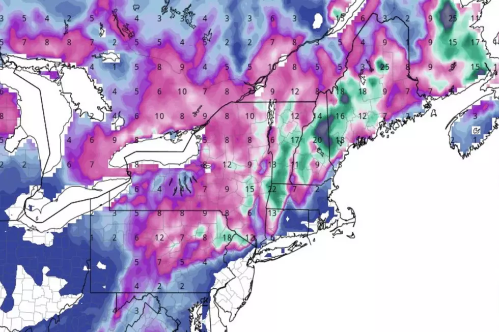
Let's not take the potential impact of Wednesday night and Thursday's major storm too lightly. Those numbers on the map above aren't temperatures. They are wind speeds.
Remember how intense that wild October storm was that we had a couple years ago?
Here's what happened in my yard when the weather ripped through here in the fall of 2017.
The 40-foot pine tree that's been on the property longer than our family, lay like a body stretched out into the street.
There's really nothing like the moment you come downstairs first thing in the morning an see this outside your kitchen window.
Miraculously it fell away from our cars, the neighbor's house, and our house.
These pictures remind us that we probably ought to make sure that the hammock and lawn chairs are put in the shed when we get home tonight.
We might wanna anchor the bbq grill, too. Hopefully the trees will stand tall and strong this time.
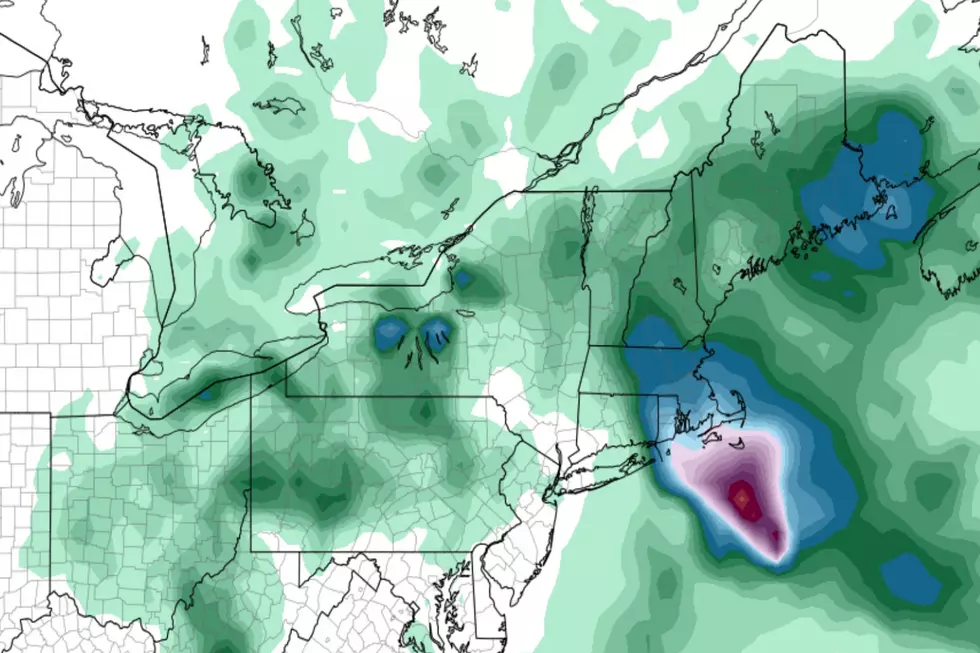
This will be our first nor'easter of the season, with no white snow but plenty of wet blowing hard out there.
The latest from the National Weather Service in Gray tells us to expect the possibility of battering wind gusts up to 55 MPH with heavy rain, especially along the coast.
More From 102.9 WBLM


